A major collaborative effort is underway in South-East Queensland to improve the management of invasive plant species in natural areas and conservation reserves, thanks to a new project supported by the Queensland Earth Observation Hub (EO Hub).
Led by the City of Gold Coast, the initiative brings together local councils, universities, and industry experts to develop innovative Earth Observation (EO) technologies for natural resource management applications.
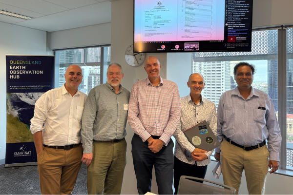 (L to R) Queensland Earth Observation Hub Coordinator Gavin Kennedy, Mark Covington from Geoimage, Derek Meggit from Brisbane City Council, Dr Jean-Marc Hero from City of Gold Coast and Dr Sanjeev Srivastava from University of the Sunshine Coast.
The project aims to develop more accurate and efficient methods of mapping and monitoring invasive weeds across the region by utilising hyperspectral imagery, synthetic aperture radar (SAR), and LiDAR data.
A recent workshop, hosted by Brisbane City Council, gathered project partners to identify key weed management challenges and the needs of councils in accessing EO data and insights. The workshop marked a significant step in shaping practical, data-driven solutions for natural resource managers.
The collaborative nature of this project is a testament to the leadership of the City of Gold Coast and the power of collaboration to address complex problems. By bringing together a diverse group of stakeholders from academia, local government, and industry, the project is able to assess challenges from multiple perspectives and create well-rounded, regionally relevant solutions.
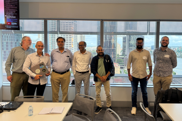 (L to R) Mark Covington from Geoimage, Dr Jean-Marc Hero from City of Gold Coast, Dr Sanjeev Srivastava from University of the Sunshine Coast, Dr Prashant Srivastava from University of the Sunshine Coast, Dr Tek Bhatt from Griffith University, Harikesh Singh from University of the Sunshine Coast and Dr Josh Rivory from the University of Queensland.
Representatives from the participating organisations—each contributing unique expertise, resources, and local knowledge—include:
By harnessing the power of satellite and aerial data, this project has the potential to transform how local governments and land managers respond to invasive species—reducing costs, improving outcomes, and supporting healthier ecosystems.
For more information about this initiative, please contact Gavin Kennedy at the Queensland Earth Observation Hub, [email protected].
The EO Hub is a jointly funded initiative of SmartSat and the Queensland Government.